


Features and Specifications
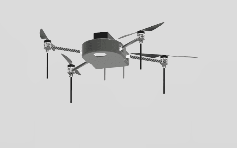
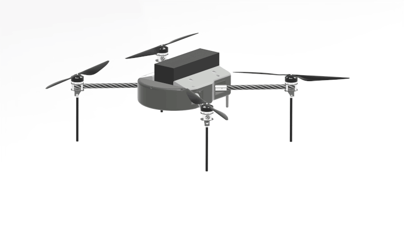
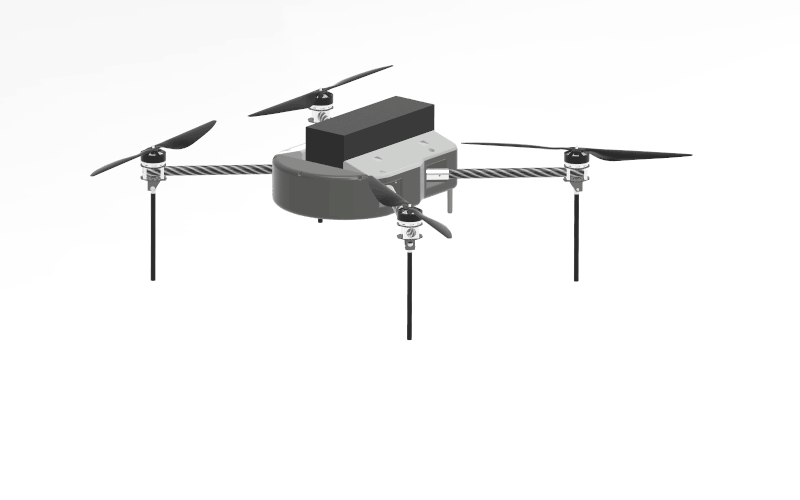
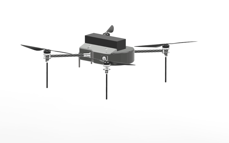
The IKSHANA Drone is a survey-grade quadcopter designed to provide precision, high-quality data for land surveys, construction site inspections, mapping, and more. Whether you’re working on large industrial projects or small-scale surveys, this drone offers optimal performance.
The drone is equipped with HD 4K camera capabilities, ensuring you capture high-quality images and videos for precise analysis and data collection. This is crucial for applications like land surveying, mapping, and environmental monitoring.
With a fully charged battery, the IKSHANA Drone can operate for up to 45 minutes, offering an extended flight time to cover larger areas and perform detailed surveys without the need for frequent recharging.
The drone’s design is easy to carry, allowing you to transport it without hassle between job sites. Its lightweight and compact build make it the perfect tool for professionals on the go.
Designed to withstand tough conditions, the IKSHANA Drone is resilient to hard landings, crashes, and adverse weather conditions, ensuring reliable performance on every job.
The User Interface (UI) of the Ground Control Station (GCS) is intuitive and easy to navigate, making it perfect for both beginners and experienced professionals. The GCS helps streamline survey and mapping operations, making your day-to-day tasks more efficient.
Whether you’re in the field of surveying, real estate, construction, or land planning, the IKSHANA Drone is designed to be your business companion, providing you with the tools to increase productivity and optimize your operations.
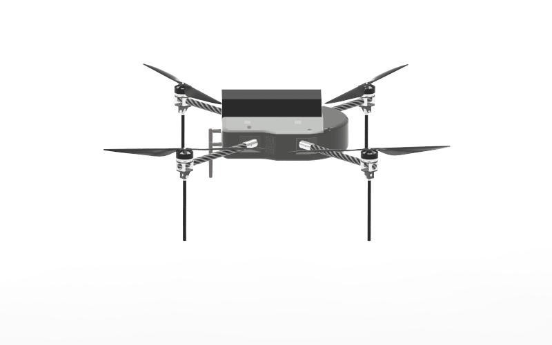
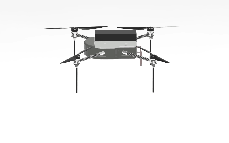
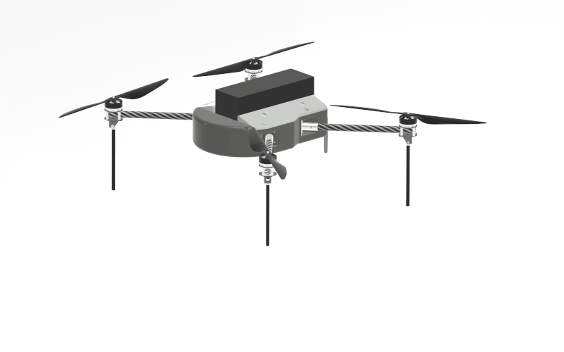
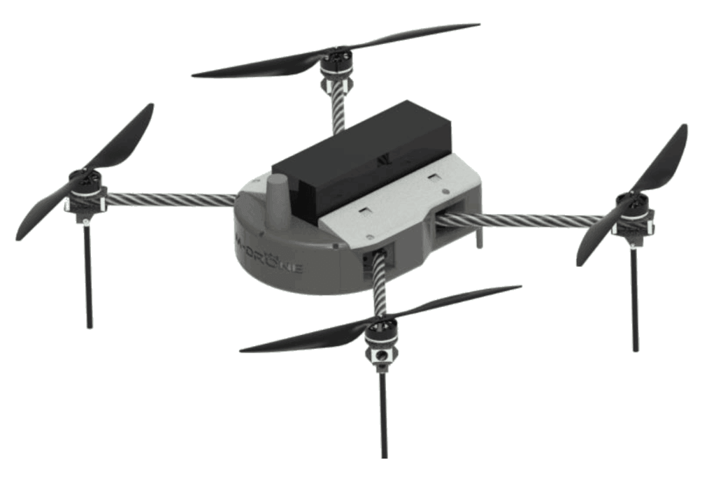
Built with Nylon-Composite and Aluminum, the IKSHANA Drone is both lightweight and durable. Its compact, aerodynamic structure allows for easy transportation and enhances flight efficiency, especially in tight or hard-to-reach areas.